Weather Settings and Display
To display weather data on the map, select the Map tab > Weather > and check one or more options (Radar Layer, Cloud Layer, Road Conditions Layer, or Weather Alerts). You will immediately see the data you selected being drawn on the map.
-
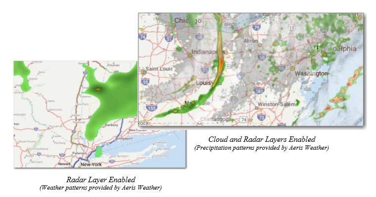
Radar Layer: Displays current precipitation events using a gradation of colors that indicate rain and snow. This data does not contribute to the generation of alerts. It is a visual aid only.
-
Cloud Layer: Displays current patterns of precipitation (cloud formations) as they are received from AerisWeather. This data does not contribute to the generation of alerts. It is a visual aid only.
-
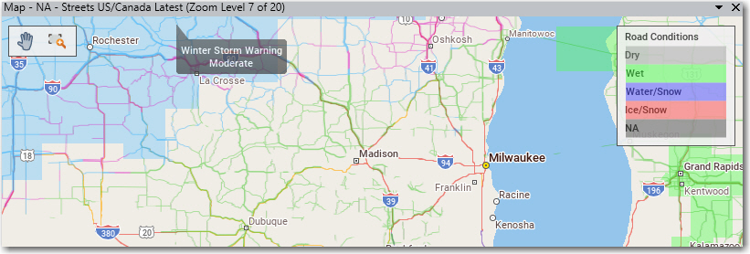
Road Conditions Layer: Displays current road conditions as well as road conditions up to 24 hours in advance. Road conditions are informational only and are not used in route calculation.
-
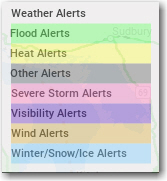
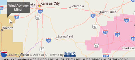
Weather Alerts: Displays colored polygons showing areas where a predicted weather alert has been issued by the U.S. National Weather Service or Environment Canada.